by Laura Kelm, Director of Water Quality Programs, GSWA
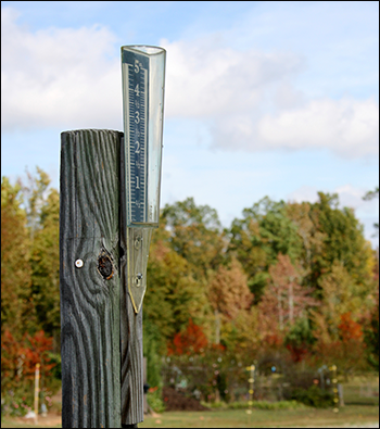
Rain gauge. Credit istockphoto.com/Flanders
As a water quality specialist, past weather, particularly precipitation patterns, have broad implications for my daily work. From a practical perspective, a lot of recent rain may make streams inaccessible for monitoring (referred to as unwadable in my field because the water is too deep or too fast to wade into). Additionally, rain and snow melt lead to stormwater runoff, which can change the quality of the water in streams by carrying pollutants deposited on land into our local waterways.
Rain also causes soil erosion. High flows erode stream banks, depositing the eroded material directly into the stream. Land farther away from streams, such as hiking trails or construction sites, can also be eroded where bare soil is exposed to falling rain. This eroded material is transported to our streams by stormwater runoff.
There is no magic amount of rainfall that causes stormwater runoff; it depends on the intensity of the storm, its duration, how saturated the ground is from recent rains, and the amount of impervious surface cover in the area. Past water quality data analyzed for the 2013 State of the Streams report revealed that even the start of a rain storm can cause runoff and impair water quality. This is called the first flush by water quality professionals. On the other hand, a lot of rain prior to monitoring can dilute some measurement parameters in streams, such as total dissolved solids from road salt. These are just some of the ways rain impacts water quality. There are also other aspects of our daily lives influenced by precipitation. Think about that for a moment, and you will get it right away. Do you need to water your garden or your lawn today? How much rain does it take to cause local flooding?
There are a few sources I turn to for information on past precipitation. For a broader perspective, I often rely on the NJ Weather & Climate Network (NJWeather.org), which is run by the Office of the New Jersey State Climatologist at Rutgers University and maintains weather stations around the state. (Unfortunately, there are only two of those in the Great Swamp region; one in Basking Ridge and one in Chatham Township.) When I need data from a specific location—let’s say Jockey Hollow—I turn to data gathered by CoCoRaHS, the Community Collaborative Rain, Hail and Snow Network (CoCoRaHS.org).
CoCoRaHS uses a network of citizen scientists around the country to collect precipitation data. Participants all use the same type of rain gauge and the same techniques to measure precipitation, so the data is as accurate and consistent as possible. Currently, there are 12 stations located in the Great Swamp region; however, only five of them are set up within our watershed’s boundaries. Those five stations—including one located near the rain garden at the Great Swamp Watershed Association’s offices on Tempe Wick Road—are all maintained by volunteer Ron Weisman and measure precipitation values that directly influence streams flowing into Great Swamp.
The data collected by CoCoRaHS constantly informs GSWA’s water quality data. More rain gauges in our region would be helpful for us to better understand how our streams react to precipitation. To find out more about becoming a CoCoRaHS participant, visit CoCoRaHS.org or contact njcocorahs@climate.rutgers.edu.
And, remember to check out the CoCoRaHS station near our rain garden the next time you visit GSWA!
This article also appears in the Fall/Winter 2014 edition of Across The Watershed, GSWA’s biannual print newsletter.
Get these articles weeks before they’re available online, become a GSWA member and you’ll get Across The Watershed‘s print edition delivered to your door twice a year!
Visit http://greatswamp.org/JoinUs.htm for more membership info.